I’ve spent some time hacking my way through Esri’s ArcPy site package lately, and I’ve completed my first proper tool. While working with data from several municipalities across central Ohio, I found myself needing to create and update maps of several different jurisdictions. The new tool does it automatically. What once took 3 hours can now be done in 6 minutes.
Using an existing .mxd, I am able to:
Automatically extent the boundaries of each feature within a feature class or shapefile, then zoom out ten percent
Update the title block based upon a specified field
Export the new map as a pdf.
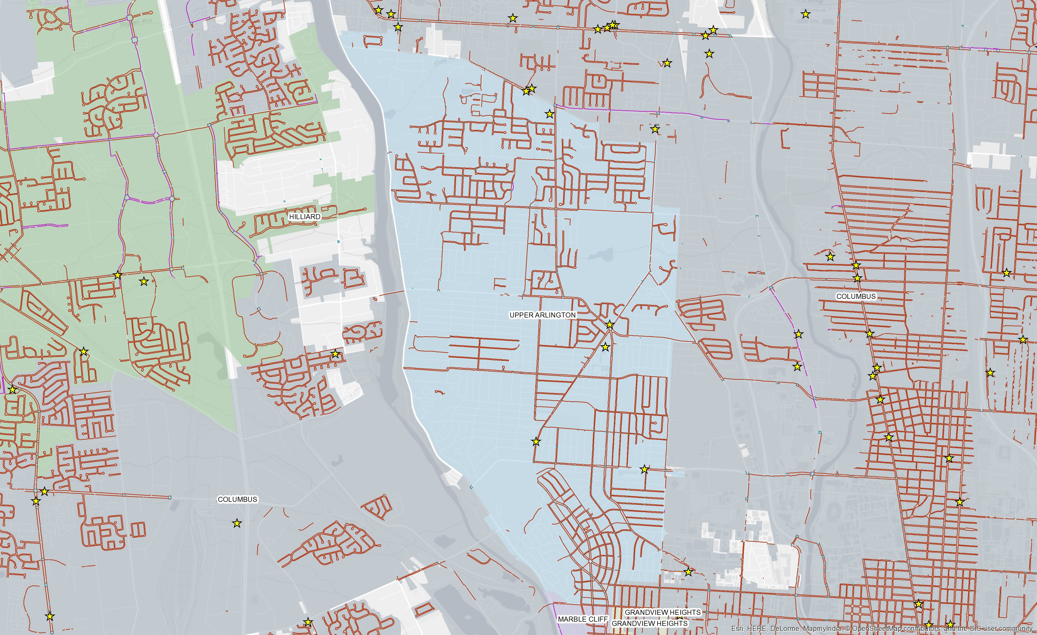
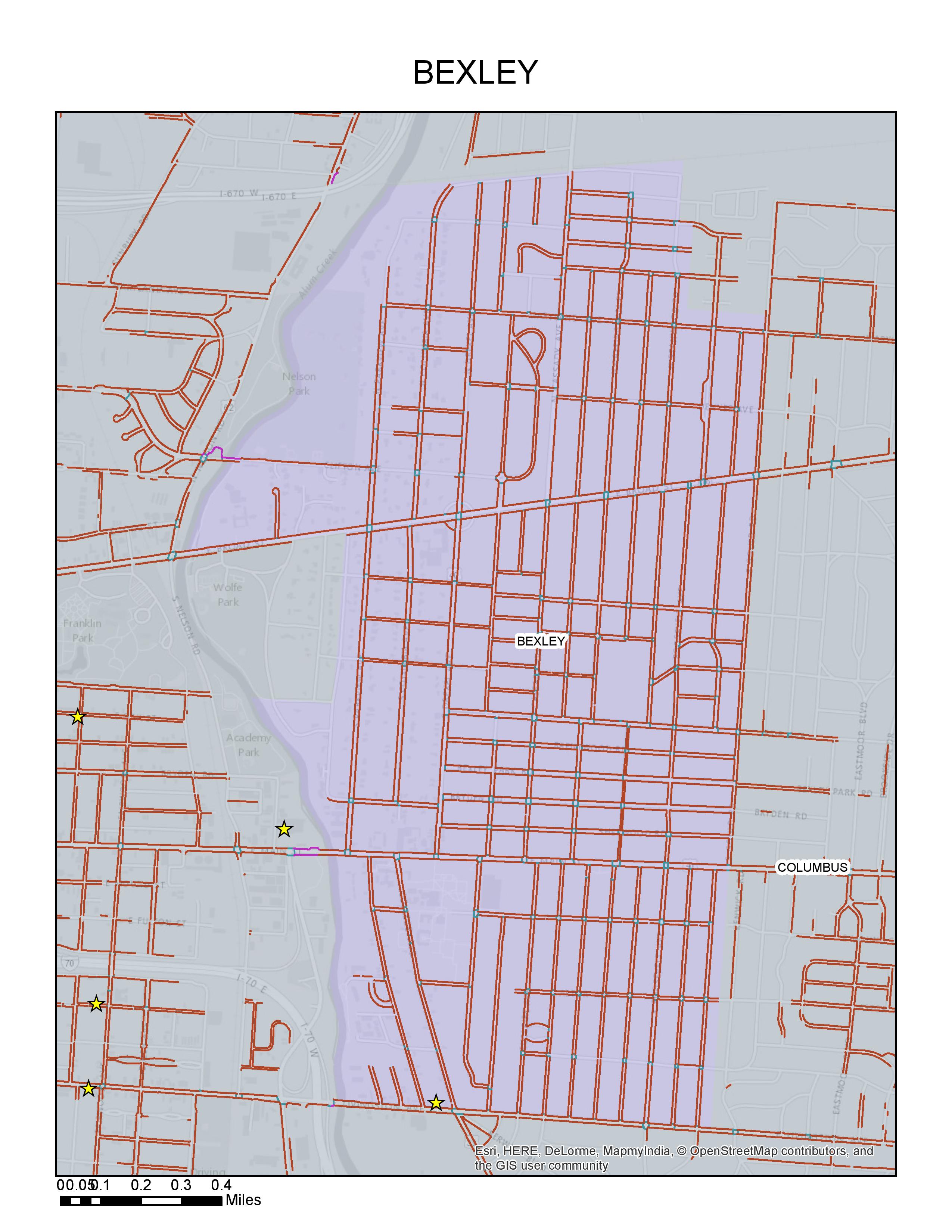
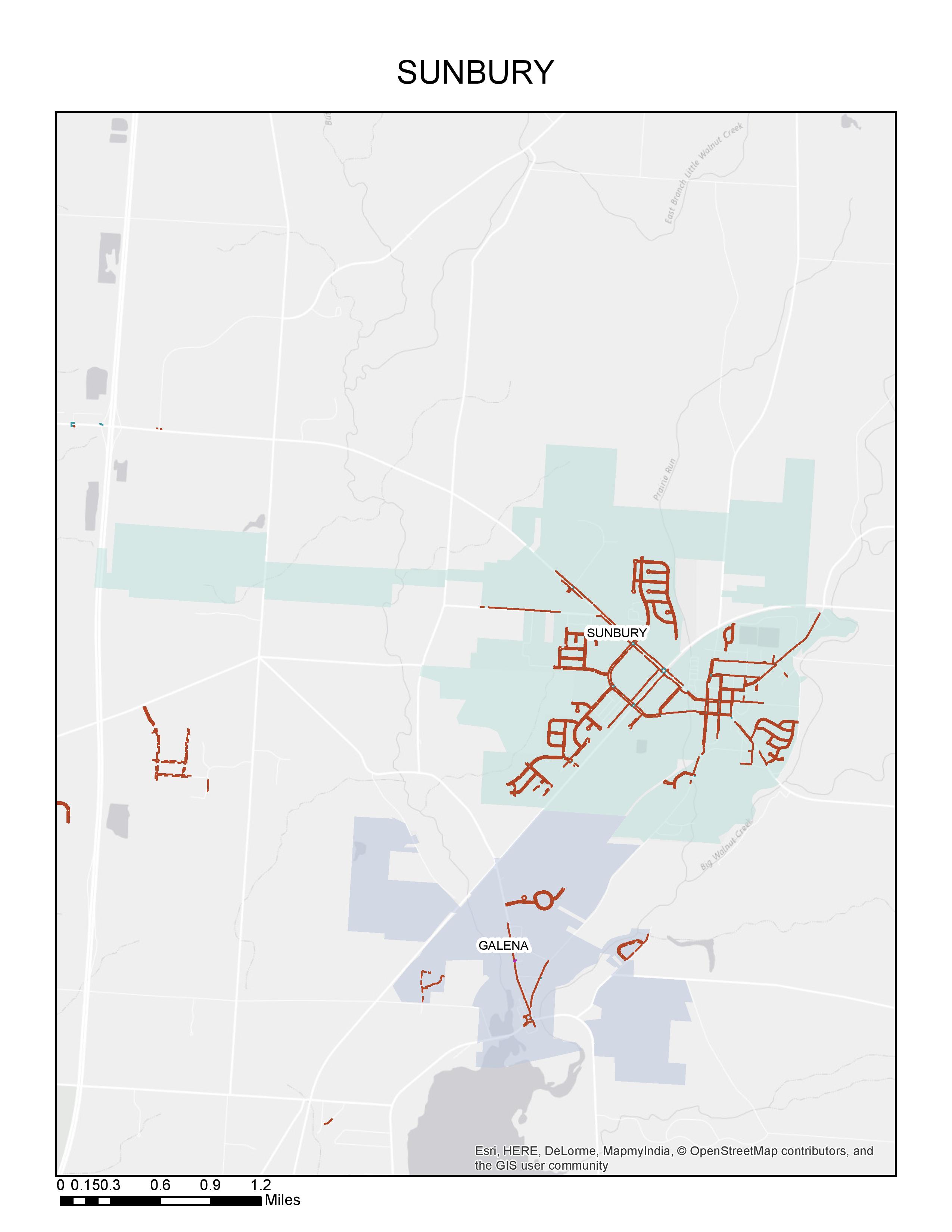
The two outputs below were created automatically.
I plan to integrate this tool into model builder scripts, but it works well enough as a standalone tool that I’ve provided it here for download. Please note that it has only been tested with polygon features, but I see no reason that it would not with linear or multi-part features.


